
Brookfield topographic map
Click on the map to display elevation.
About this map
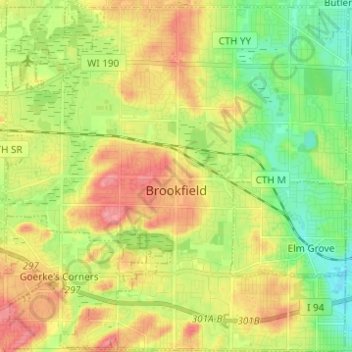
Name: Brookfield topographic map, elevation, terrain.
Location: Brookfield, Waukesha County, Wisconsin, United States (43.01640 -88.18589 43.10626 -88.06613)
Average elevation: 256 m
Minimum elevation: 220 m
Maximum elevation: 298 m
Other topographic maps
Click on a map to view its topography, its elevation and its terrain.
Menomonee Falls
United States > Wisconsin > Waukesha County > Menomonee Falls
Average elevation: 260 m