
Thank you for supporting this site ❤️
Make a donation
Make a donation
khayar ghari topographic map
Click on the map to display elevation.
Thank you for supporting this site ❤️
Make a donation
Make a donation
About this map
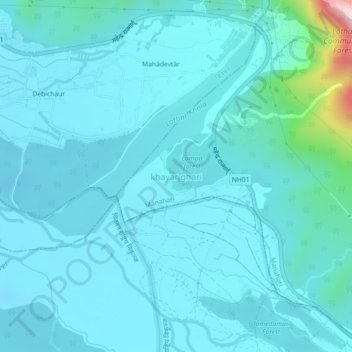
Name: khayar ghari topographic map, elevation, terrain.
Location: khayar ghari, Manahari, Makwanpur, Bagamati Province, Nepal (27.54857 84.70193 27.58857 84.74193)
Average elevation: 277 m
Minimum elevation: 229 m
Maximum elevation: 708 m
Thank you for supporting this site ❤️
Make a donation
Make a donation
Other topographic maps
Click on a map to view its topography, its elevation and its terrain.