
Thank you for supporting this site ❤️
Make a donation
Make a donation
Majagual topographic map
Click on the map to display elevation.
Thank you for supporting this site ❤️
Make a donation
Make a donation
About this map
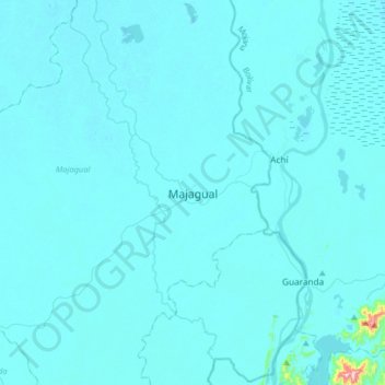
Name: Majagual topographic map, elevation, terrain.
Location: Majagual, La Mojana, Sucre, RAP Caribe, Colombia (8.38162 -74.78842 8.70162 -74.46842)
Average elevation: 24 m
Minimum elevation: 11 m
Maximum elevation: 468 m
Thank you for supporting this site ❤️
Make a donation
Make a donation