
Thank you for supporting this site ❤️
Make a donation
Make a donation
Hazel Dell topographic map
Click on the map to display elevation.
Thank you for supporting this site ❤️
Make a donation
Make a donation
About this map
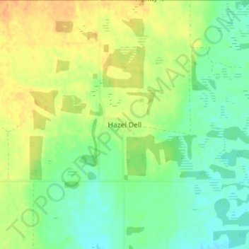
Name: Hazel Dell topographic map, elevation, terrain.
Location: Hazel Dell, Hazel Dell No. 335, Saskatchewan, Canada (51.95790 -102.99524 51.99790 -102.95524)
Average elevation: 600 m
Minimum elevation: 586 m
Maximum elevation: 616 m
Thank you for supporting this site ❤️
Make a donation
Make a donation
Other topographic maps
Click on a map to view its topography, its elevation and its terrain.