
Thank you for supporting this site ❤️
Make a donation
Make a donation
Sector 17 topographic map
Click on the map to display elevation.
Thank you for supporting this site ❤️
Make a donation
Make a donation
About this map
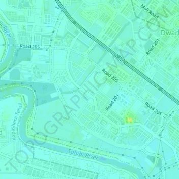
Name: Sector 17 topographic map, elevation, terrain.
Location: Sector 17, Dwarka, South West Delhi, Delhi, India (28.58575 77.02204 28.59844 77.03445)
Average elevation: 213 m
Minimum elevation: 209 m
Maximum elevation: 225 m
Thank you for supporting this site ❤️
Make a donation
Make a donation
Other topographic maps
Click on a map to view its topography, its elevation and its terrain.
Thank you for supporting this site ❤️
Make a donation
Make a donation
Thank you for supporting this site ❤️
Make a donation
Make a donation