
Thank you for supporting this site ❤️
Make a donation
Make a donation
Mythen topographic map
Click on the map to display elevation.
Thank you for supporting this site ❤️
Make a donation
Make a donation
About this map
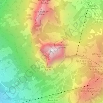
Name: Mythen topographic map, elevation, terrain.
Location: Mythen, Schwyz, Switzerland (47.02919 8.68772 47.03019 8.68981)
Average elevation: 1,219 m
Minimum elevation: 613 m
Maximum elevation: 1,880 m
Thank you for supporting this site ❤️
Make a donation
Make a donation
Other topographic maps
Click on a map to view its topography, its elevation and its terrain.