
Görlitz topographic map
Click on the map to display elevation.
About this map
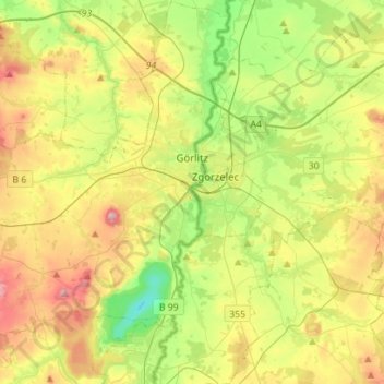
Name: Görlitz topographic map, elevation, terrain.
Location: Görlitz, Saxony, Germany (51.05256 14.91168 51.22796 15.01794)
Average elevation: 223 m
Minimum elevation: 102 m
Maximum elevation: 401 m
Other topographic maps
Click on a map to view its topography, its elevation and its terrain.