
Ossonga topographic map
Interactive map
Click on the map to display elevation.
About this map
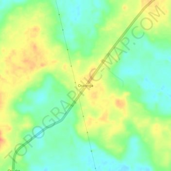
Name: Ossonga topographic map, elevation, terrain.
Location: Ossonga, Owando, Cuvette Department, Congo-Brazzaville (-0.56548 15.87579 -0.52548 15.91579)
Average elevation: 341 m
Minimum elevation: 320 m
Maximum elevation: 367 m