
Thank you for supporting this site ❤️
Make a donation
Make a donation
Al Batayih topographic map
Click on the map to display elevation.
Thank you for supporting this site ❤️
Make a donation
Make a donation
About this map
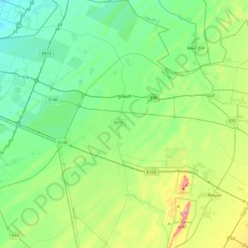
Name: Al Batayih topographic map, elevation, terrain.
Location: Al Batayih, Sharjah Emirate, United Arab Emirates (25.05546 55.62933 25.41917 55.84499)
Average elevation: 108 m
Minimum elevation: 13 m
Maximum elevation: 404 m
Thank you for supporting this site ❤️
Make a donation
Make a donation