
Thank you for supporting this site ❤️
Make a donation
Make a donation
San Leon topographic map
Click on the map to display elevation.
Thank you for supporting this site ❤️
Make a donation
Make a donation
About this map
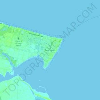
Name: San Leon topographic map, elevation, terrain.
Location: San Leon, Galveston County, Texas, 77395, United States (29.44674 -94.96158 29.52674 -94.88158)
Average elevation: 1 m
Minimum elevation: -1 m
Maximum elevation: 9 m
Thank you for supporting this site ❤️
Make a donation
Make a donation
Other topographic maps
Click on a map to view its topography, its elevation and its terrain.
Texas City
United States > Texas > Galveston County
Officially, the elevation of Texas City is 10 feet above sea level, though some areas are even lower. It was naturally vulnerable to flooding by hurricane storm surges and heavy rainstorms.
Average elevation: 2 m
Thank you for supporting this site ❤️
Make a donation
Make a donation