
Salvaterra topographic map
Interactive map
Click on the map to display elevation.
About this map
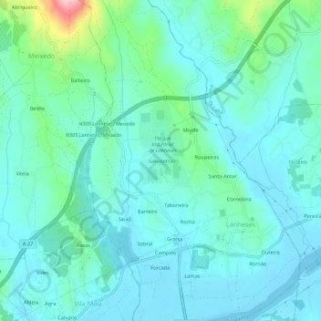
Name: Salvaterra topographic map, elevation, terrain.
Location: Salvaterra, Lanheses, Viana do Castelo, 4925-411, Portugal (41.72621 -8.70772 41.76621 -8.66772)
Average elevation: 34 m
Minimum elevation: -5 m
Maximum elevation: 195 m