
Chelo topographic map
Interactive map
Click on the map to display elevation.
About this map
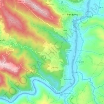
Name: Chelo topographic map, elevation, terrain.
Location: Chelo, Lorvão, Penacova, Coimbra, 3360-108, Portugal (40.23576 -8.31142 40.27576 -8.27142)
Average elevation: 167 m
Minimum elevation: 27 m
Maximum elevation: 390 m
Other topographic maps
Click on a map to view its topography, its elevation and its terrain.