
Thank you for supporting this site ❤️
Make a donation
Make a donation
Quedas de Calandula topographic map
Click on the map to display elevation.
Thank you for supporting this site ❤️
Make a donation
Make a donation
About this map
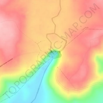
Name: Quedas de Calandula topographic map, elevation, terrain.
Location: Quedas de Calandula, Calandula, Malanje Province, Angola (-9.07412 16.00027 -9.07402 16.00037)
Average elevation: 1,060 m
Minimum elevation: 955 m
Maximum elevation: 1,114 m
Thank you for supporting this site ❤️
Make a donation
Make a donation