
Priekule topographic map
Interactive map
Click on the map to display elevation.
About this map
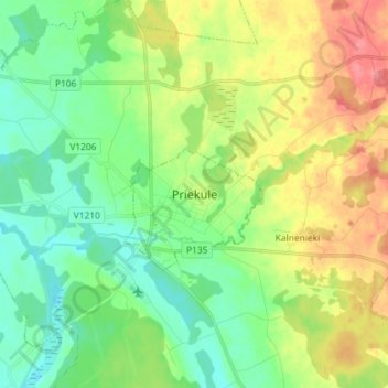
Name: Priekule topographic map, elevation, terrain.
Location: Priekule, Dienvidkurzemes novads, Koerland, Letland (56.40949 21.56069 56.48949 21.64069)
Average elevation: 70 m
Minimum elevation: 40 m
Maximum elevation: 123 m