
Thank you for supporting this site ❤️
Make a donation
Make a donation
Karabörk topographic map
Click on the map to display elevation.
Thank you for supporting this site ❤️
Make a donation
Make a donation
About this map
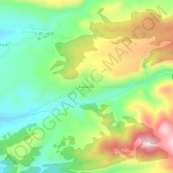
Name: Karabörk topographic map, elevation, terrain.
Location: Karabörk, Alucra, Giresun, Black Sea Region, Turkey (40.29474 38.81480 40.33474 38.85480)
Average elevation: 1,741 m
Minimum elevation: 1,566 m
Maximum elevation: 2,000 m
Thank you for supporting this site ❤️
Make a donation
Make a donation