
Tute topographic map
Click on the map to display elevation.
About this map
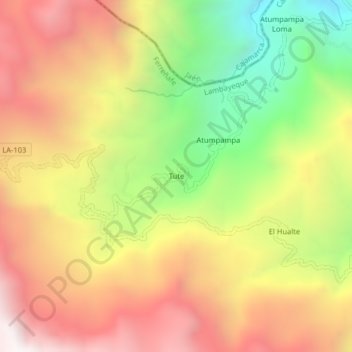
Name: Tute topographic map, elevation, terrain.
Location: Tute, Cañaris, Ferreñafe, Lambayeque, Perú (-6.08524 -79.24635 -6.04524 -79.20635)
Average elevation: 2,430 m
Minimum elevation: 1,586 m
Maximum elevation: 3,179 m