
Stronghold topographic map
Click on the map to display elevation.
About this map
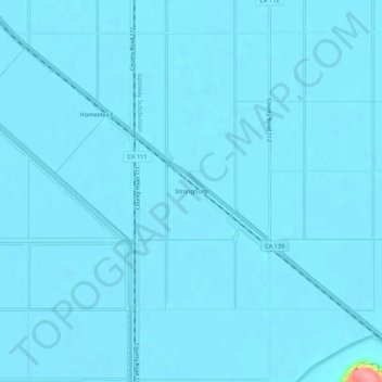
Name: Stronghold topographic map, elevation, terrain.
Location: Stronghold, Modoc County, California, 96134, United States (41.88543 -121.42971 41.92543 -121.38971)
Average elevation: 1,230 m
Minimum elevation: 1,227 m
Maximum elevation: 1,327 m
Other topographic maps
Click on a map to view its topography, its elevation and its terrain.