
Falcon topographic map
Click on the map to display elevation.
About this map
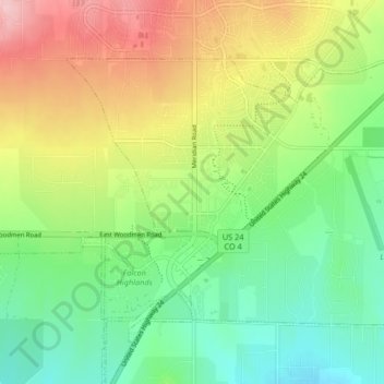
Name: Falcon topographic map, elevation, terrain.
Location: Falcon, El Paso County, Colorado, 80831, United States (38.92546 -104.63531 38.97005 -104.55285)
Average elevation: 2,111 m
Minimum elevation: 2,039 m
Maximum elevation: 2,225 m