
Bautzen - Budyšin topographic map
Interactive map
Click on the map to display elevation.
About this map
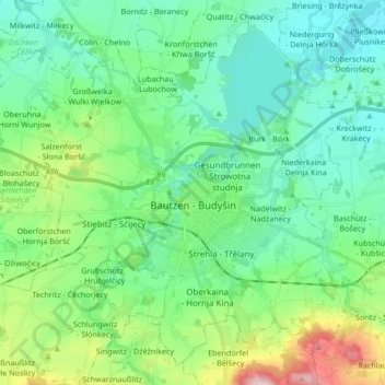
Name: Bautzen - Budyšin topographic map, elevation, terrain.
Location: Bautzen - Budyšin, Saxony, 02625, Germany (51.13727 14.32407 51.23207 14.49264)
Average elevation: 210 m
Minimum elevation: 143 m
Maximum elevation: 425 m