
Thank you for supporting this site ❤️
Make a donation
Make a donation
Morlunda topographic map
Click on the map to display elevation.
Thank you for supporting this site ❤️
Make a donation
Make a donation
About this map
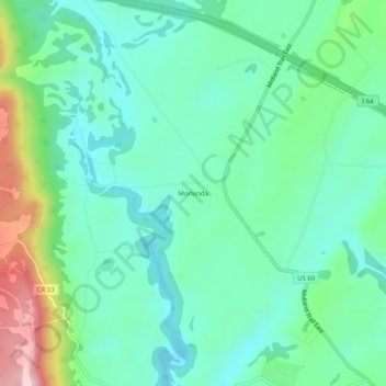
Name: Morlunda topographic map, elevation, terrain.
Location: Morlunda, Greenbrier County, West Virginia, 24931, USA (37.81151 -80.51147 37.85151 -80.47147)
Average elevation: 635 m
Minimum elevation: 559 m
Maximum elevation: 851 m
Thank you for supporting this site ❤️
Make a donation
Make a donation