
Thank you for supporting this site ❤️
Make a donation
Make a donation
Rockville topographic map
Click on the map to display elevation.
Thank you for supporting this site ❤️
Make a donation
Make a donation
About this map
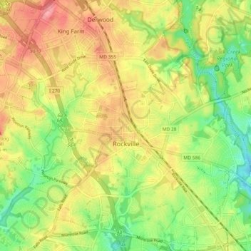
Name: Rockville topographic map, elevation, terrain.
Location: Rockville, Montgomery County, Maryland, United States (39.05329 -77.20015 39.12055 -77.10781)
Average elevation: 122 m
Minimum elevation: 75 m
Maximum elevation: 168 m
Thank you for supporting this site ❤️
Make a donation
Make a donation