
Thank you for supporting this site ❤️
Make a donation
Make a donation
North Poorton topographic map
Click on the map to display elevation.
Thank you for supporting this site ❤️
Make a donation
Make a donation
About this map
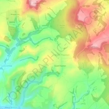
Name: North Poorton topographic map, elevation, terrain.
Location: North Poorton, Dorset, England, DT6 3TH, United Kingdom (50.77153 -2.70923 50.79192 -2.65377)
Average elevation: 119 m
Minimum elevation: 32 m
Maximum elevation: 219 m
Thank you for supporting this site ❤️
Make a donation
Make a donation
Other topographic maps
Click on a map to view its topography, its elevation and its terrain.