
Thank you for supporting this site ❤️
Make a donation
Make a donation
T Stevenson Dam topographic map
Click on the map to display elevation.
Thank you for supporting this site ❤️
Make a donation
Make a donation
About this map
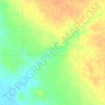
Name: T Stevenson Dam topographic map, elevation, terrain.
Location: T Stevenson Dam, Hill County, Montana, United States (48.71214 -110.36792 48.71224 -110.36782)
Average elevation: 895 m
Minimum elevation: 874 m
Maximum elevation: 911 m
Thank you for supporting this site ❤️
Make a donation
Make a donation
Other topographic maps
Click on a map to view its topography, its elevation and its terrain.