
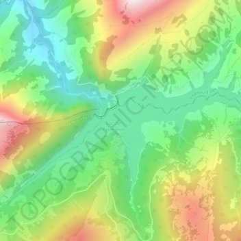
Lac de l'Hongrin topographic map
Interactive map
Click on the map to display elevation.
About this map
Name: Lac de l'Hongrin topographic map, elevation, terrain.
Location: Lac de l'Hongrin, Ormont-Dessous, District d'Aigle, Vaud, Suisse (46.41270 7.02336 46.43163 7.07495)
Average elevation: 1,397 m
Minimum elevation: 1,075 m
Maximum elevation: 1,915 m
Other topographic maps
Click on a map to view its topography, its elevation and its terrain.
Cergnat
Suisse > Vaud > District d'Aigle > Ormont-Dessous > Le Sépey
Cergnat, Le Sépey, Ormont-Dessous, District d'Aigle, Vaud, 1863, Suisse
Average elevation: 1,284 m