
Goslar topographic map
Interactive map
Click on the map to display elevation.
About this map
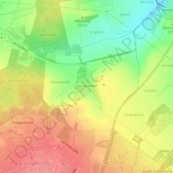
Name: Goslar topographic map, elevation, terrain.
Location: Goslar, Gut Grauhof, Landkreis Goslar, Nedersaksen, Duitsland (51.93596 10.44590 51.93969 10.45394)
Average elevation: 226 m
Minimum elevation: 180 m
Maximum elevation: 263 m