
Thank you for supporting this site ❤️
Make a donation
Make a donation
Happy Valley topographic map
Click on the map to display elevation.
Thank you for supporting this site ❤️
Make a donation
Make a donation
About this map
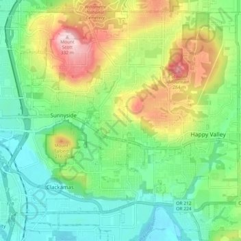
Name: Happy Valley topographic map, elevation, terrain.
Location: Happy Valley, Clackamas County, Oregon, 97086, USA (45.40314 -122.56833 45.46130 -122.47706)
Average elevation: 125 m
Minimum elevation: 19 m
Maximum elevation: 329 m
Thank you for supporting this site ❤️
Make a donation
Make a donation