
Peste topographic map
Interactive map
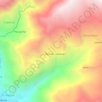
Click on the map to display elevation.
About this map
Name: Peste topographic map, elevation, terrain.
Location: Peste, Castilla, Arequipa, Pérou (-15.66820 -72.49297 -15.62820 -72.45297)
Average elevation: 3,164 m
Minimum elevation: 2,420 m
Maximum elevation: 3,773 m