
Thank you for supporting this site ❤️
Make a donation
Make a donation
Arandis topographic map
Click on the map to display elevation.
Thank you for supporting this site ❤️
Make a donation
Make a donation
About this map
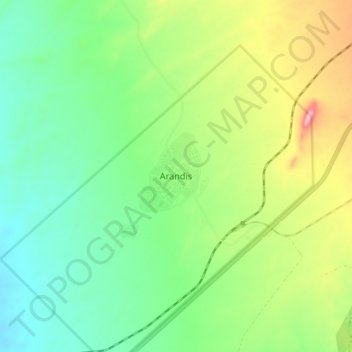
Name: Arandis topographic map, elevation, terrain.
Location: Arandis, Erongo Region, Namibia (-22.45743 14.93561 -22.37743 15.01561)
Average elevation: 582 m
Minimum elevation: 512 m
Maximum elevation: 720 m
Thank you for supporting this site ❤️
Make a donation
Make a donation