
Thank you for supporting this site ❤️
Make a donation
Make a donation
Umeå kommun topographic map
Click on the map to display elevation.
Thank you for supporting this site ❤️
Make a donation
Make a donation
About this map
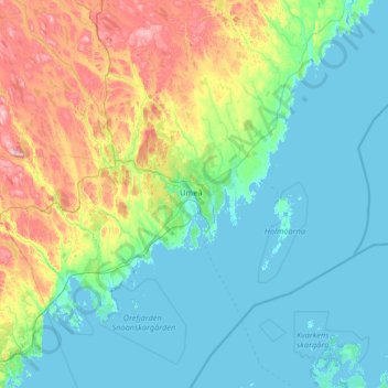
Name: Umeå kommun topographic map, elevation, terrain.
Location: Umeå kommun, Västerbotten County, Sweden (63.23777 19.68105 64.39408 21.47599)
Average elevation: 78 m
Minimum elevation: -6 m
Maximum elevation: 472 m
Thank you for supporting this site ❤️
Make a donation
Make a donation