
Swoyersville topographic map
Interactive map
Click on the map to display elevation.
About this map
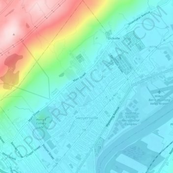
Name: Swoyersville topographic map, elevation, terrain.
Location: Swoyersville, Luzerne County, Pennsylvania, USA (41.28029 -75.89888 41.31478 -75.86141)
Average elevation: 218 m
Minimum elevation: 156 m
Maximum elevation: 466 m