
Nanson topographic map
Interactive map
Click on the map to display elevation.
About this map
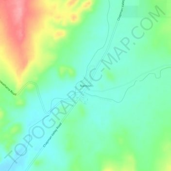
Name: Nanson topographic map, elevation, terrain.
Location: Nanson, Geraldton, Western Australia, Australia (-28.58162 114.73966 -28.54162 114.77966)
Average elevation: 146 m
Minimum elevation: 113 m
Maximum elevation: 218 m