
Les Loges topographic map
Interactive map
Click on the map to display elevation.
About this map
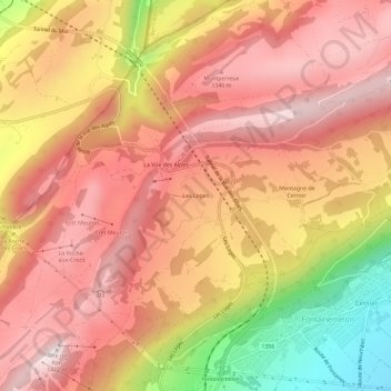
Name: Les Loges topographic map, elevation, terrain.
Location: Les Loges, Fontaines (NE), Val-de-Ruz, Neuchâtel, 2052, Suisse (47.05005 6.85460 47.09005 6.89460)
Average elevation: 1,185 m
Minimum elevation: 775 m
Maximum elevation: 1,412 m