
Thank you for supporting this site ❤️
Make a donation
Make a donation
Colac topographic map
Click on the map to display elevation.
Thank you for supporting this site ❤️
Make a donation
Make a donation
About this map
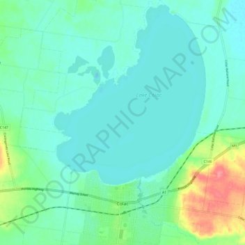
Name: Colac topographic map, elevation, terrain.
Location: Colac, Shire of Colac Otway, Victoria, 3250, Australia (-38.35543 143.55233 -38.26381 143.62558)
Average elevation: 127 m
Minimum elevation: 109 m
Maximum elevation: 193 m
Thank you for supporting this site ❤️
Make a donation
Make a donation