
Meiz topographic map
Interactive map
Click on the map to display elevation.
About this map
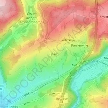
Name: Meiz topographic map, elevation, terrain.
Location: Meiz, Malmedy, Verviers, Liège, Wallonie, 4960, Belgique (50.40323 5.96292 50.44323 6.00292)
Average elevation: 406 m
Minimum elevation: 293 m
Maximum elevation: 539 m