
La Fría topographic map
Interactive map
Click on the map to display elevation.
About this map
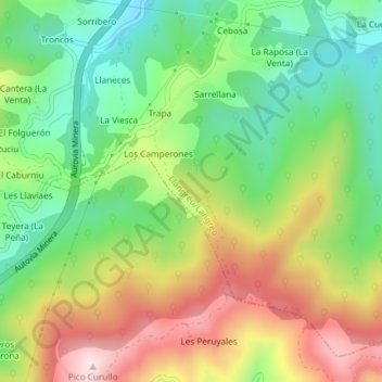
Name: La Fría topographic map, elevation, terrain.
Location: La Fría, Llangréu/Langreo, Asturias, 33600, España (43.27647 -5.75578 43.29647 -5.73578)
Average elevation: 423 m
Minimum elevation: 246 m
Maximum elevation: 667 m