
Thank you for supporting this site ❤️
Make a donation
Make a donation
Beaver Creek topographic map
Click on the map to display elevation.
Thank you for supporting this site ❤️
Make a donation
Make a donation
About this map
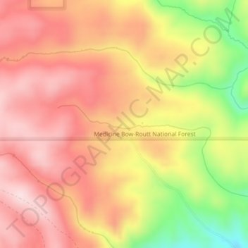
Name: Beaver Creek topographic map, elevation, terrain.
Location: Beaver Creek, Grand County, Colorado, USA (40.00387 -106.58134 40.00492 -106.57082)
Average elevation: 2,689 m
Minimum elevation: 2,483 m
Maximum elevation: 2,810 m
Thank you for supporting this site ❤️
Make a donation
Make a donation