
Keilberg topographic map
Interactive map
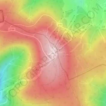
Click on the map to display elevation.
About this map
Name: Keilberg topographic map, elevation, terrain.
Average elevation: 1,082 m
Minimum elevation: 831 m
Maximum elevation: 1,249 m
Berge und Erhebungen (sortiert nach Höhe absteigend):