
Thank you for supporting this site ❤️
Make a donation
Make a donation
Queen Elizabeth II Park topographic map
Click on the map to display elevation.
Thank you for supporting this site ❤️
Make a donation
Make a donation
About this map
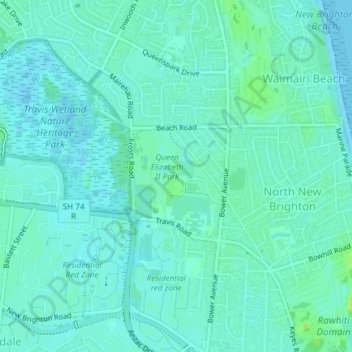
Name: Queen Elizabeth II Park topographic map, elevation, terrain.
Average elevation: 4 m
Minimum elevation: -2 m
Maximum elevation: 14 m
Thank you for supporting this site ❤️
Make a donation
Make a donation
Other topographic maps
Click on a map to view its topography, its elevation and its terrain.
New Brighton Beach
New Zealand > Canterbury > Christchurch City > Coastal-Burwood Community
Average elevation: 4 m