
Aubel topographic map
Interactive map
Click on the map to display elevation.
About this map
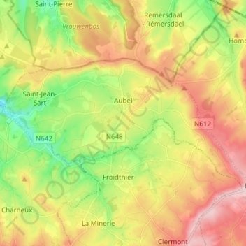
Name: Aubel topographic map, elevation, terrain.
Location: Aubel, Verviers, Lüttich, Wallonien, 4880, Belgien (50.67625 5.79839 50.71751 5.92234)
Average elevation: 238 m
Minimum elevation: 132 m
Maximum elevation: 354 m