
Gjerde topographic map
Interactive map
Click on the map to display elevation.
About this map
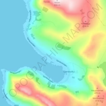
Name: Gjerde topographic map, elevation, terrain.
Location: Gjerde, Sande, Møre og Romsdal, 6083, Noorwegen (62.24474 5.55100 62.28474 5.59100)
Average elevation: 172 m
Minimum elevation: 0 m
Maximum elevation: 551 m