
Thank you for supporting this site ❤️
Make a donation
Make a donation
Area J (West Chilcotin) topographic map
Click on the map to display elevation.
Thank you for supporting this site ❤️
Make a donation
Make a donation
About this map
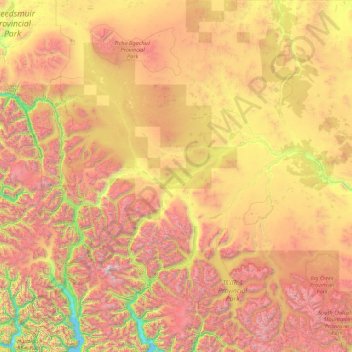
Name: Area J (West Chilcotin) topographic map, elevation, terrain.
Average elevation: 1,416 m
Minimum elevation: 0 m
Maximum elevation: 3,788 m
Thank you for supporting this site ❤️
Make a donation
Make a donation
Other topographic maps
Click on a map to view its topography, its elevation and its terrain.
Big Lake
Canada > British Columbia > Cariboo Regional District > Area J (West Chilcotin)
Average elevation: 1,330 m
Fish Trap (Dean River) Recreation Site
Canada > British Columbia > Cariboo Regional District > Area J (West Chilcotin)
Average elevation: 1,128 m