
Thank you for supporting this site ❤️
Make a donation
Make a donation
McDaniel topographic map
Click on the map to display elevation.
Thank you for supporting this site ❤️
Make a donation
Make a donation
About this map
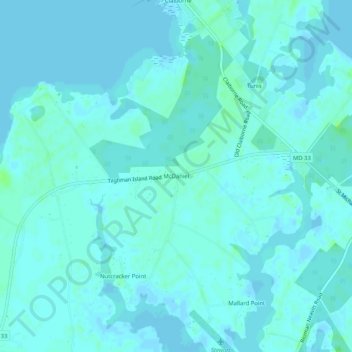
Name: McDaniel topographic map, elevation, terrain.
Location: McDaniel, Talbot County, Maryland, 21624, United States (38.79762 -76.29801 38.83762 -76.25801)
Average elevation: 2 m
Minimum elevation: -2 m
Maximum elevation: 10 m
Thank you for supporting this site ❤️
Make a donation
Make a donation
Other topographic maps
Click on a map to view its topography, its elevation and its terrain.