
Thank you for supporting this site ❤️
Make a donation
Make a donation
Provincia de Chiclayo topographic map
Click on the map to display elevation.
Thank you for supporting this site ❤️
Make a donation
Make a donation
About this map
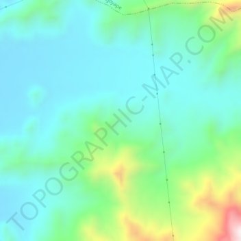
Name: Provincia de Chiclayo topographic map, elevation, terrain.
Location: Provincia de Chiclayo, Pucalá, Chiclayo, Lambayeque, Perú (-6.81940 -79.51432 -6.77940 -79.47432)
Average elevation: 348 m
Minimum elevation: 176 m
Maximum elevation: 934 m
Thank you for supporting this site ❤️
Make a donation
Make a donation