
Thank you for supporting this site ❤️
Make a donation
Make a donation
Labuan Bird Park topographic map
Click on the map to display elevation.
Thank you for supporting this site ❤️
Make a donation
Make a donation
About this map
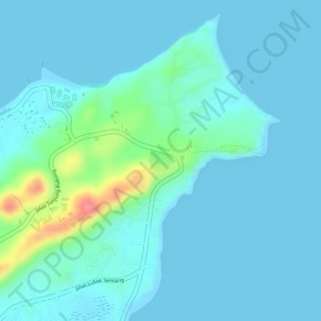
Name: Labuan Bird Park topographic map, elevation, terrain.
Location: Labuan Bird Park, Kampung Pohon Batu, Labuan, 87000, Malaysia (5.37981 115.24590 5.38180 115.24794)
Average elevation: 13 m
Minimum elevation: 0 m
Maximum elevation: 84 m
Thank you for supporting this site ❤️
Make a donation
Make a donation