
Oare topographic map
Click on the map to display elevation.
About this map
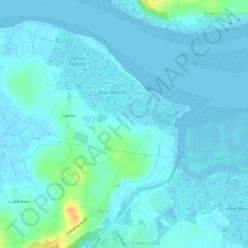
Name: Oare topographic map, elevation, terrain.
Location: Oare, Borough of Swale, Kent, England, United Kingdom (51.32506 0.85766 51.35903 0.90419)
Average elevation: 4 m
Minimum elevation: -3 m
Maximum elevation: 31 m