
Testa d'Arpy topographic map
Interactive map
Click on the map to display elevation.
About this map
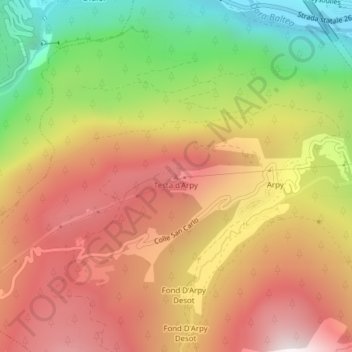
Name: Testa d'Arpy topographic map, elevation, terrain.
Location: Testa d'Arpy, Morgex, Aostatal, 11017, Italien (45.74836 7.00041 45.74846 7.00051)
Average elevation: 1,651 m
Minimum elevation: 947 m
Maximum elevation: 2,231 m