
Thank you for supporting this site ❤️
Make a donation
Make a donation
Cutcut Ⅰ topographic map
Click on the map to display elevation.
Thank you for supporting this site ❤️
Make a donation
Make a donation
About this map
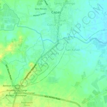
Name: Cutcut Ⅰ topographic map, elevation, terrain.
Location: Cutcut Ⅰ, Capas, Tarlac, Central Luzon, 2315, Philippines (15.30051 120.56864 15.34051 120.60864)
Average elevation: 50 m
Minimum elevation: 42 m
Maximum elevation: 62 m
Thank you for supporting this site ❤️
Make a donation
Make a donation