
Thank you for supporting this site ❤️
Make a donation
Make a donation
Humbug Mountain topographic map
Click on the map to display elevation.
Thank you for supporting this site ❤️
Make a donation
Make a donation
About this map
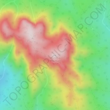
Name: Humbug Mountain topographic map, elevation, terrain.
Location: Humbug Mountain, Clatsop County, Oregon, United States (45.92593 -123.69231 45.92603 -123.69221)
Average elevation: 463 m
Minimum elevation: 236 m
Maximum elevation: 732 m
Thank you for supporting this site ❤️
Make a donation
Make a donation
Other topographic maps
Click on a map to view its topography, its elevation and its terrain.