
Thank you for supporting this site ❤️
Make a donation
Make a donation
San Pedro topographic map
Click on the map to display elevation.
Thank you for supporting this site ❤️
Make a donation
Make a donation
About this map
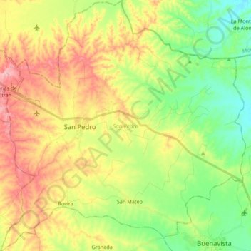
Name: San Pedro topographic map, elevation, terrain.
Location: San Pedro, Sabanas, Sucre, Colombia (9.31444 -75.11669 9.47887 -74.95382)
Average elevation: 126 m
Minimum elevation: 55 m
Maximum elevation: 219 m
Thank you for supporting this site ❤️
Make a donation
Make a donation