
Thank you for supporting this site ❤️
Make a donation
Make a donation
Iron Mountains topographic map
Click on the map to display elevation.
Thank you for supporting this site ❤️
Make a donation
Make a donation
About this map
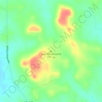
Name: Iron Mountains topographic map, elevation, terrain.
Location: Iron Mountains, Caldwell County, Texas, 78632, United States (29.72101 -97.51338 29.72111 -97.51328)
Average elevation: 160 m
Minimum elevation: 138 m
Maximum elevation: 194 m
Thank you for supporting this site ❤️
Make a donation
Make a donation